+7 (812) 328 9282 - Office, +7 (812) 328 9248 - Museum info@karpinskyinstitute.ru
Russian Geological Research Institute (VSEGEI)
In the last days of August, experts of the Shelf Expedition of the Department for Regional Geoecology and Marine Geology performed marine sampling and video filming of the seabed in the Kandalaksha Bay of the White Sea. The work was carried out on the ship "Professor Zenkevich".
Work on the object is a continuation of previously conducted research in the system of State monitoring of the geological environment of the White Se coastal shelf zone. Based on the field works results, maps of geological hazards correlated with exogenous geological processes (scale 1: 1,000,000 with insets at 1: 200,000 scale and larger) are being compiled.
Such research studies are very important when performing any kind of economic activities on the shelf and in the coastal zone. For example, when laying underwater pipelines or other communications, it is necessary to take into account the likelihood of hazardous exogenous processes on the bottom surface. Seabed areas with steep relief and unstable soils that were not identified before the beginning of laying work threaten with underwater landslides, blocking construction work and further functioning of underwater pipelines and cables. The identification and mapping of areas of underwater gas manifestations of various genesis is of particular importance.
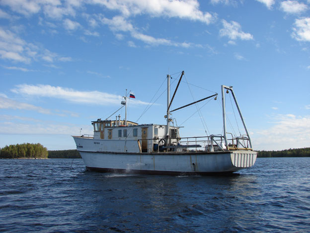
The vessel "Professor Zenkevich", from the deck of which the sampling was carried out. In the photo one can see a box corer for sampling, which clings to the bottom tap
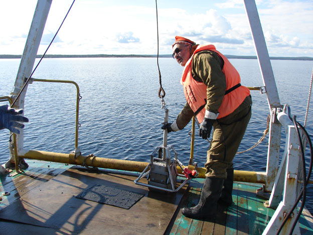
Dr. A. G. Grigoriev waits from the captain "we are at the point, can start the work" and prepares to launch the box-corer to take samples from the seabed surface. A video camera for underwater shooting is also attached to the box corer
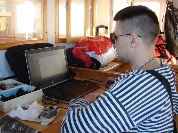
Engineer A.V. Evdokimenko checks the video quality. Sometimes the roiling of water due to the impact of the box corer against the bottom does not allow obtaining a clear image
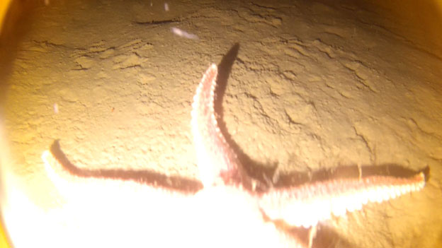
A fragment from the underwater video - the sediment is clearly visible. Even the sea dweller posed
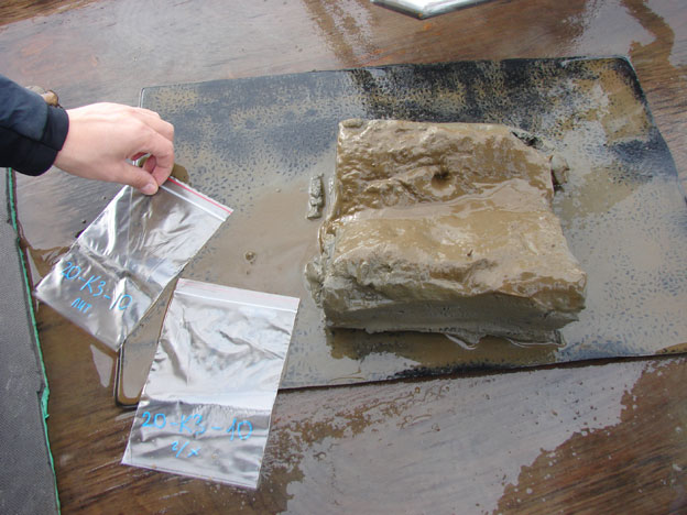
Sampling for granulometric and geochemical analyzes. PH and soil temperature are also measured
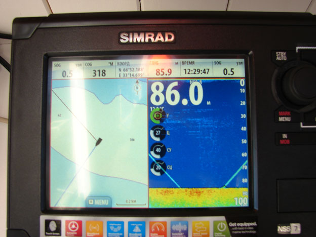
A marine echo sounder helps in geologists’ work - it can track the moment the box corer touches the ground (blue diagonal lines)
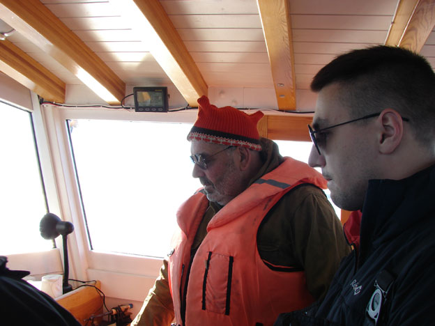
A.G. Grigoriev and A.V. Evdokimenko in the captain's cock-pit, approving the plans and route for the working day with the captain
The inconstancy of the northern weather did not prevent the full completion of the work. Works participants: A.G. Grigoriev, A.V. Evdokimenko, A.N. Suknotova.

